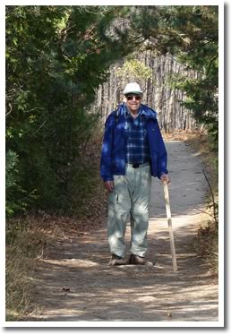
The Dufferin Hi-Land Bruce Trail
In the Dufferin Hi-Land section, parts of the Bruce Trail follow the line of Hurontario Street, which was the main road into the area in pioneer days and linked Lake Ontario with Georgian Bay. Along the Trail, there are long views to the east and pleasant walks through mature, mixed hardwood forests.
It passes through such areas of natural beauty as the Mono Cliffs Provincial Park, the Boyne Valley Provincial Park and the Pine River Fishing Area.
Dufferin Hi-Land Bruce Trail Club
 Membership in the Dufferin Hi-Land Club provides the opportunity to meet new people and be involved in organized hikes, social gatherings, workshops, trail maintenance and weekend outings.
| Name | The Dufferin Hi-Land Bruce Trail |
| Description | The Dufferin Hi-land section is situated at the mid point of the Bruce Trail. Extending from the village of Mono Centre in the south to the hamlet of Lavender at its northern extremity, it traverses a scenic area as remarkable for its diversity as for its natural beauty. |
| Activities | Walking and hiking |
| Location | The trail begins at the northern end of the Caledon Hills section, just east of Mono Centre, on Dufferin County Road 8. |
| Maps | Bruce Trail Maps Store |
| Parking | Yes. Roadside parking at various sections. |
| Trail Head | The trail begins at the northern end of the Caledon Hills section, just east of Mono Centre, on Dufferin County Road 8. |
| Trail End | Dufferin County Road 21 [45.9], the Trail enters a woodland track which leads to the Mulmur/Clearview Townline just east of Lavender and the start of the Blue Mountain section. |
| Distance | 51.4 km |
| Difficulty | Moderate to difficult. |
| Surfaces | Natural |
| Amenities | None |
| Landmarks | Limestone rocks, deep valleys, and mature forest. |
| Cost | No Cost |
| Trail Web Site | www.dufferinbrucetrailclub.org |
| Closest Town | Orangeville |
 Headwaters Communities in Action


